Say in one sentence what you feel like doing. Isomaps plots your route, checks the weather and conditions, and guides you. Hiking, trail running, MTB, skiing, gravel, running.
Computed in Europe. Your data never leaves the app.
Maps, weather, conditions, navigation: all the depth of Isomaps, one sentence away.
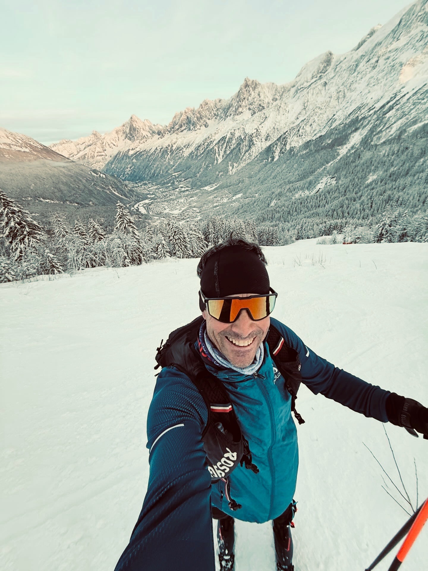
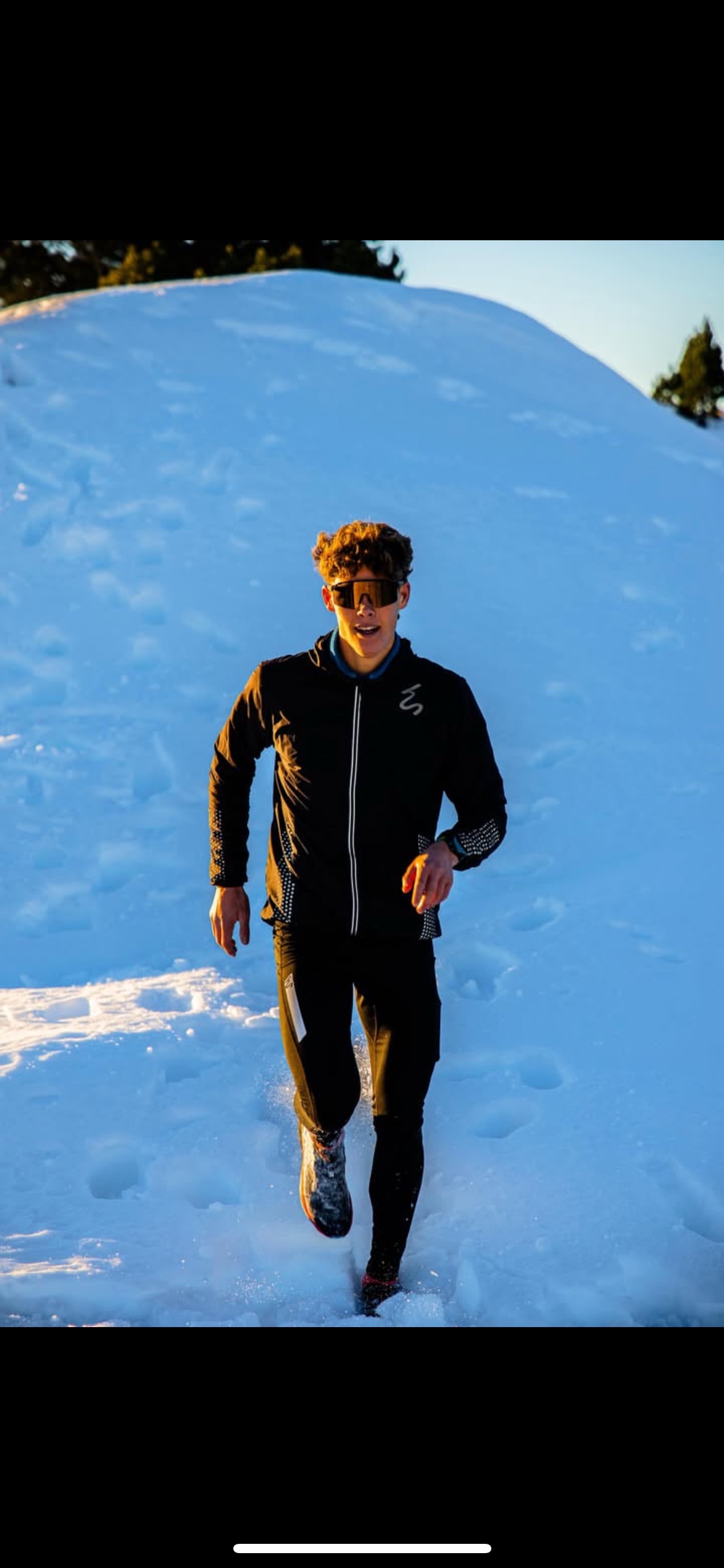
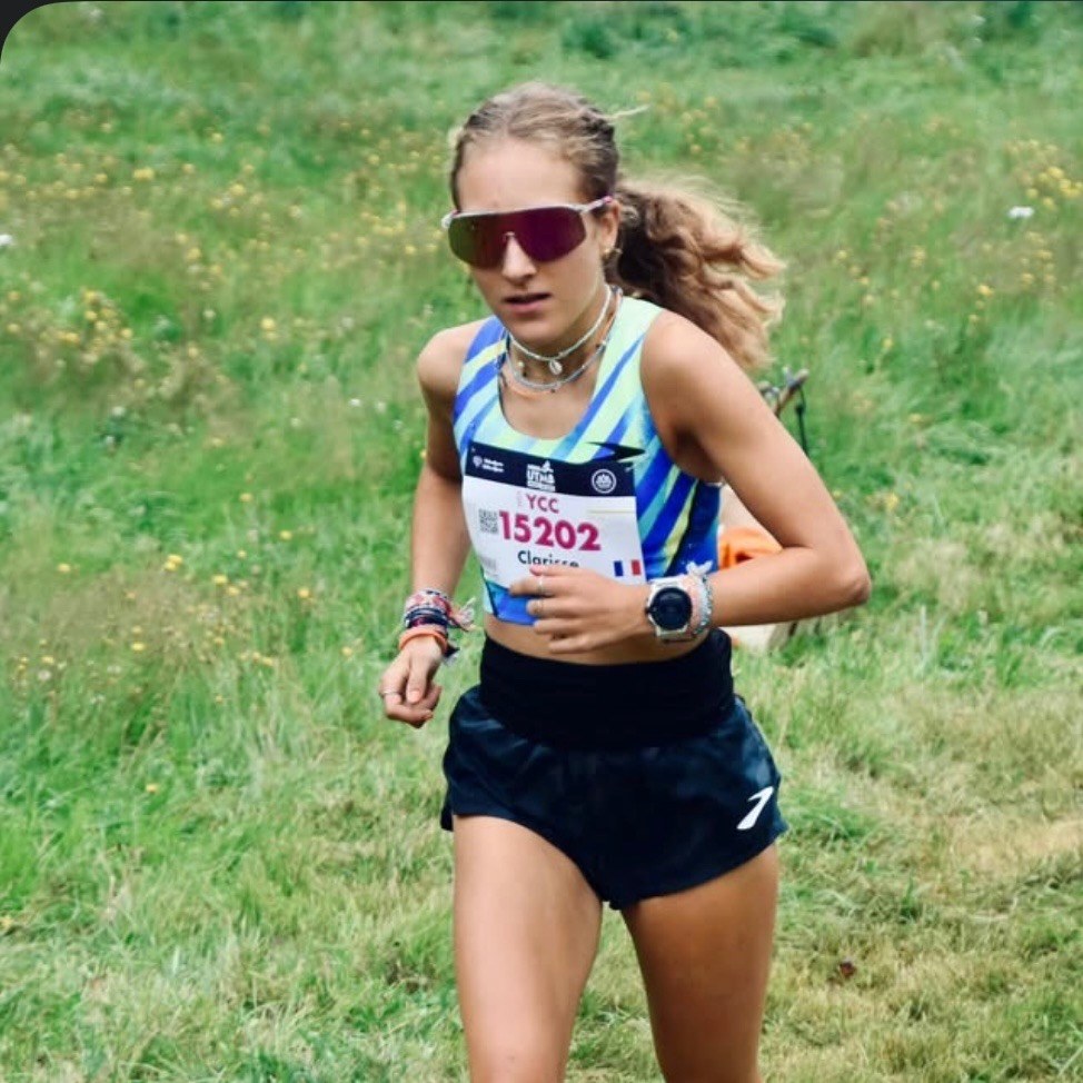
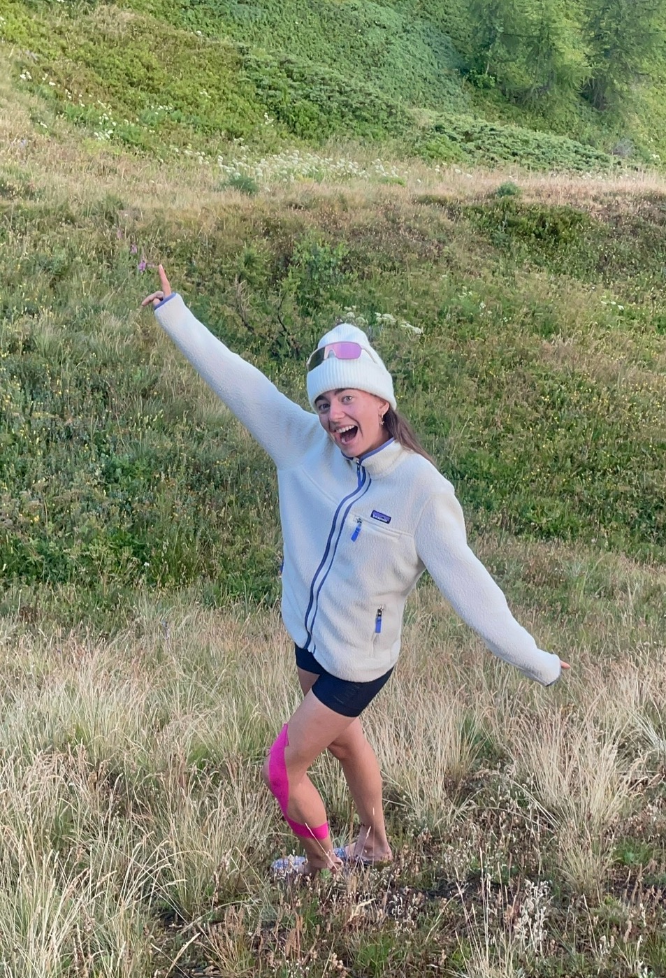
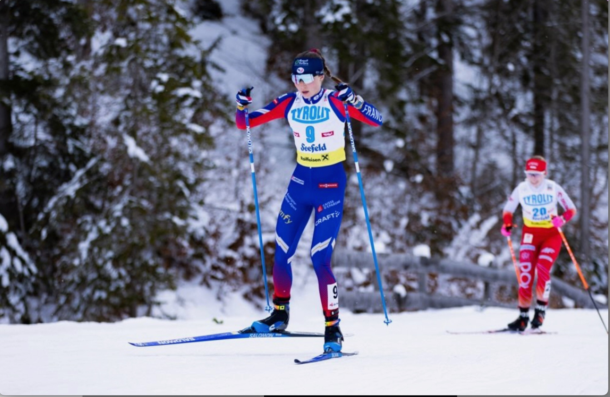
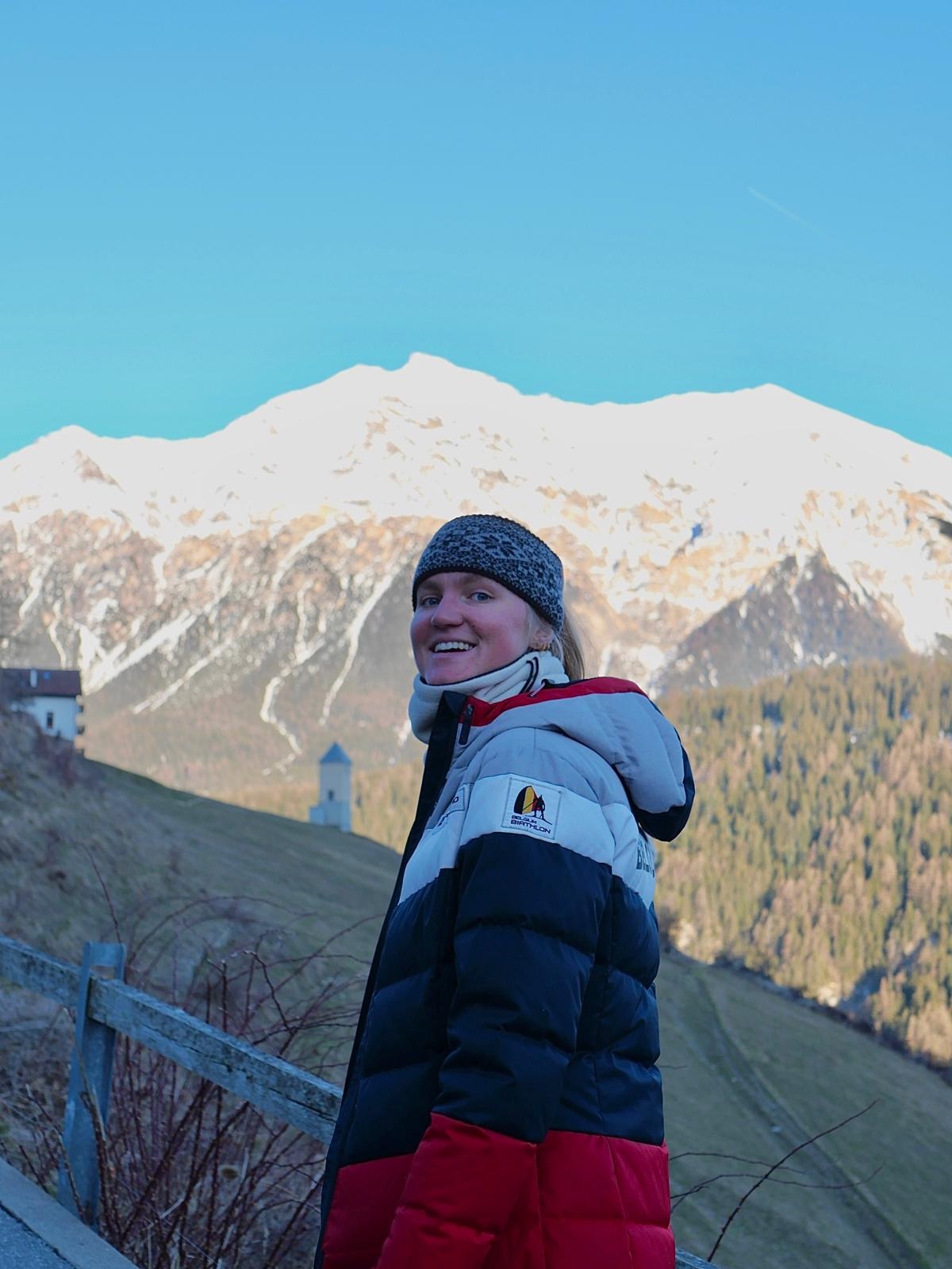
Trail, biathlon, nordic combined and ski athletes, plus mid-mountain leaders. Like more than 3,000 outdoor enthusiasts, they use Isomaps every day.
Every feature is designed for the trail, not for likes.
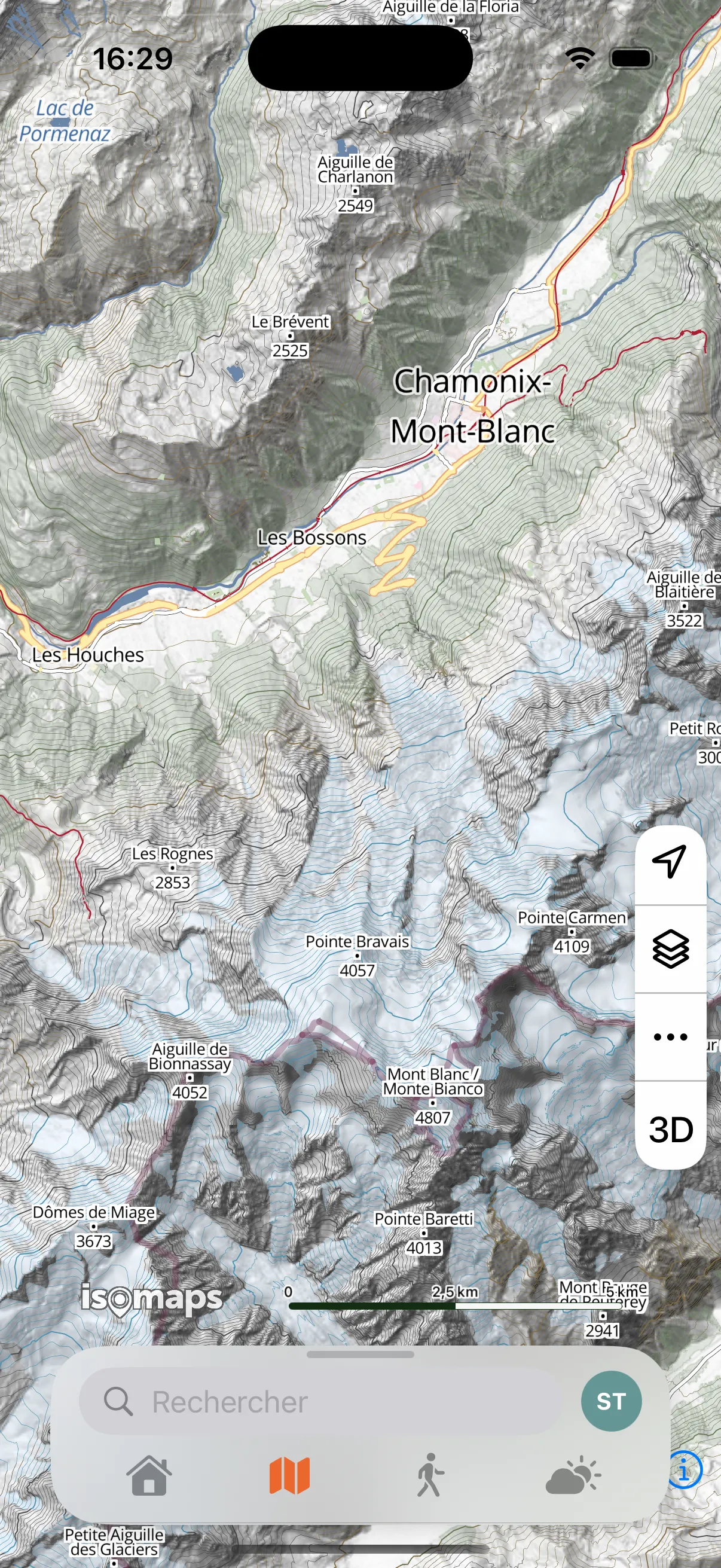
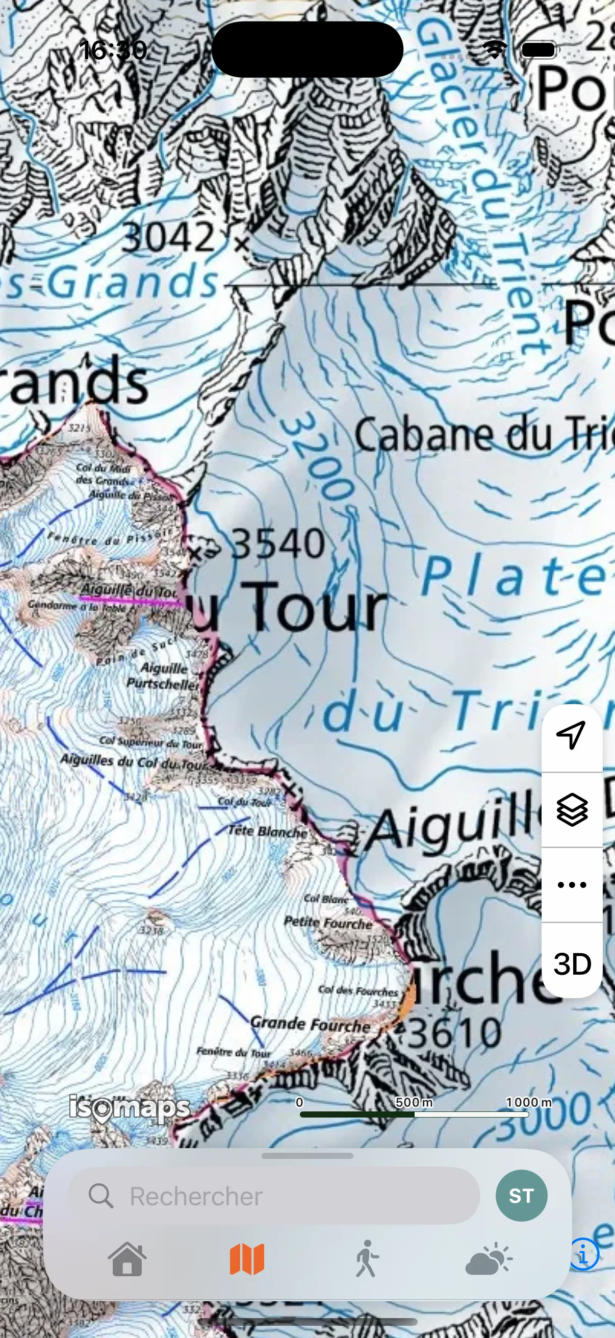
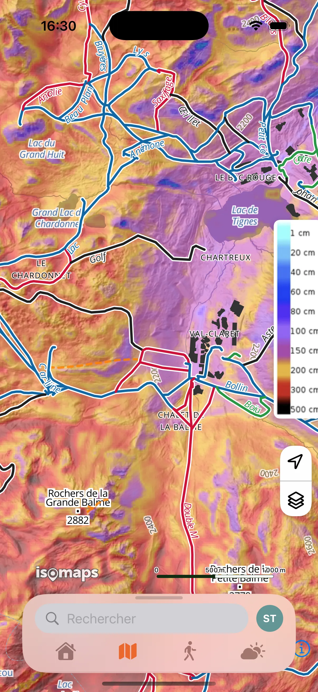
IGN, SwissTopo, OpenTopoMap, slope map, satellite view. Switch in one tap based on your activity.
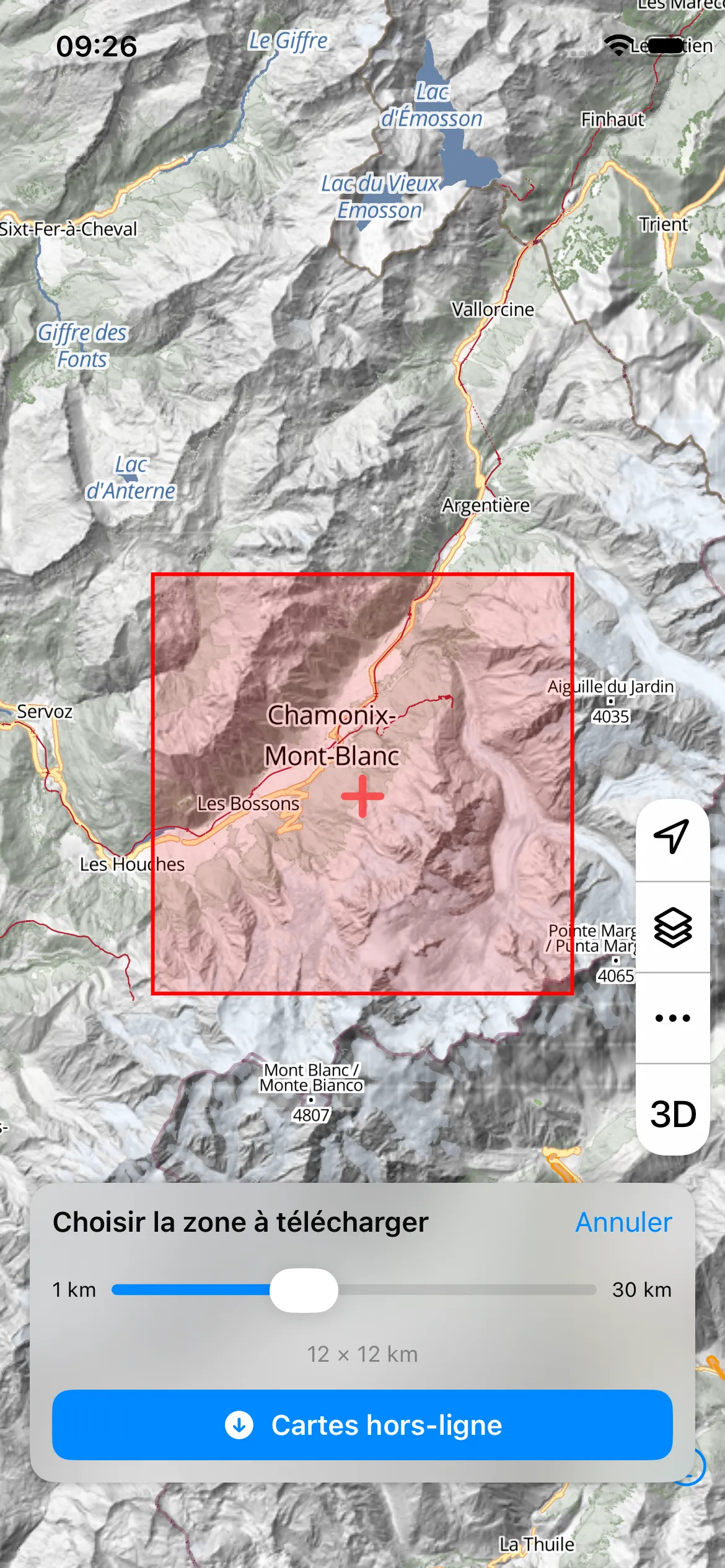
Download your areas before heading out. Maps, routes and navigation work without network.
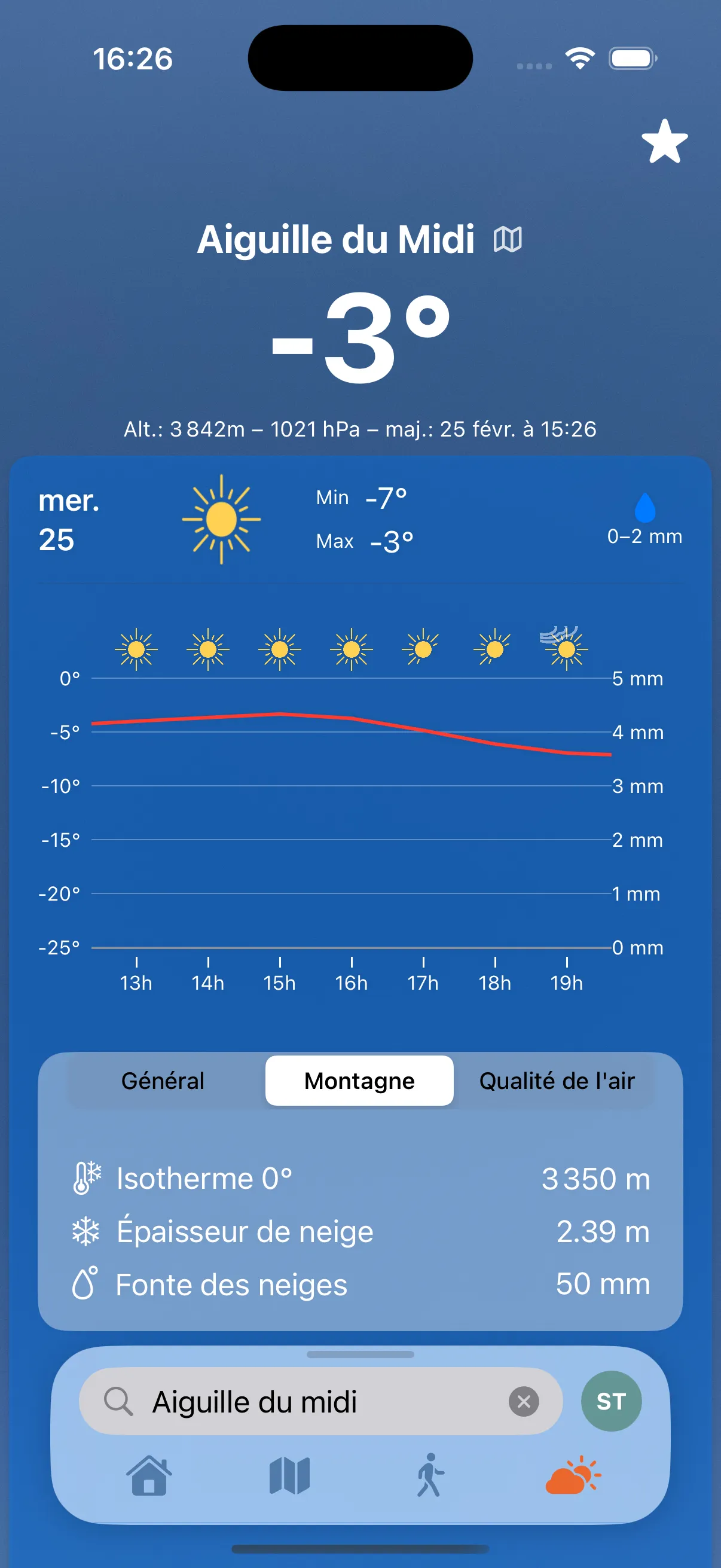
Forecasts by altitude: wind, snow, 0°C isotherm, avalanche risk. Everything to plan safely.
Share your real-time position with loved ones via a private link. No data exposed publicly.
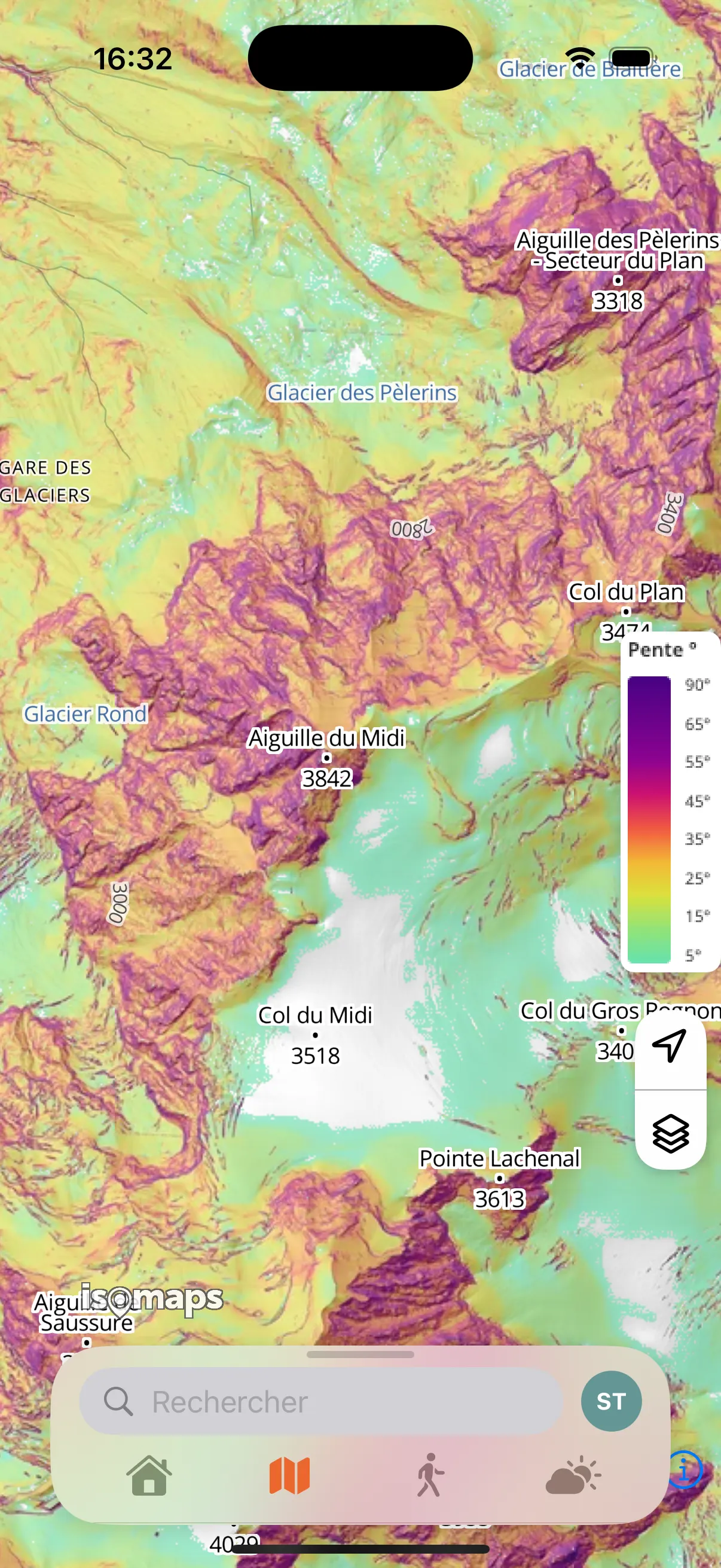
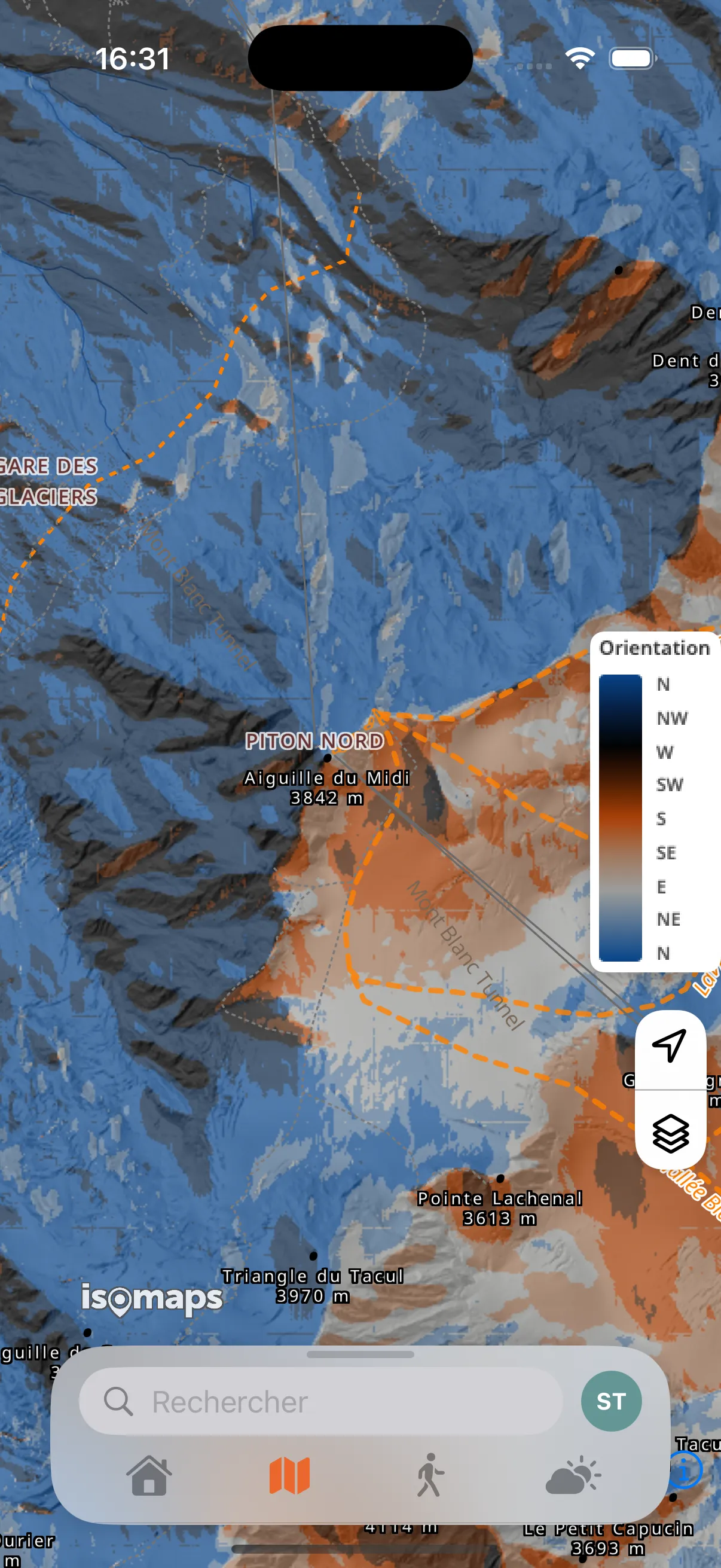
Visualize terrain steepness in color. Essential for ski touring and avalanche risk assessment.
Point your phone at the horizon: the app identifies peaks in augmented reality.
Share your outings and chat live via the built-in messenger. Your activities stay private by default.
Emergency alert with your exact GPS position in one tap. Safety outdoors is not optional.
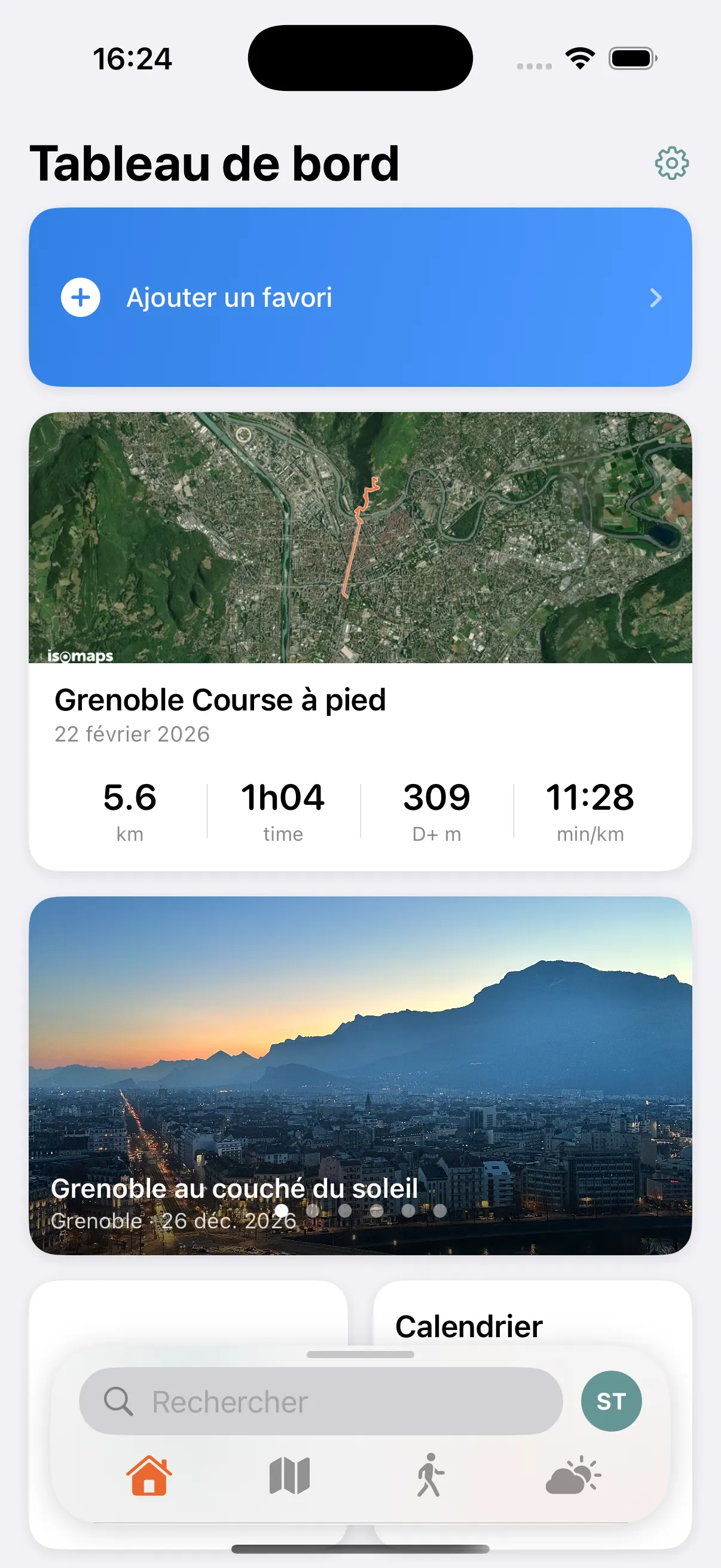
Set up your home screen with the widgets that matter: weather, activities, map, stats.
At Isomaps, data protection is a founding principle, not a buried setting.
Private by default. No activity is ever publicly visible. Ever.
No data resale. Your GPS traces are never aggregated, sold, or exploited.
Social without exposure. Share and chat, without social pressure or public leaderboards.
European hosting. Data stored in Europe, GDPR compliant.
No credit card required. Discover all Premium features for a week.
Try Isomaps free for 7 days. Available on iOS and Android.